
Organiser
Supertramp Events
Distances& Start Times & Entry Fee
Registration:
From 07h00 to 08h00 at Bush Boys Adventure Farm on race day.
- The 18km Tonteldoos Trail Run - A fairly challenging route which rewards you with the best that Tonteldoos has to offer.
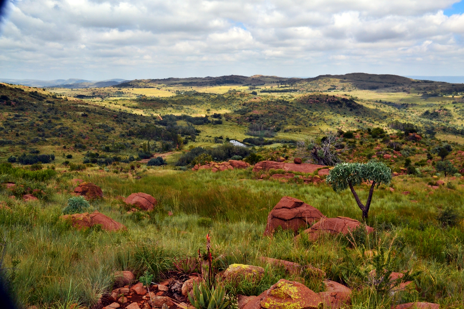
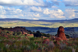
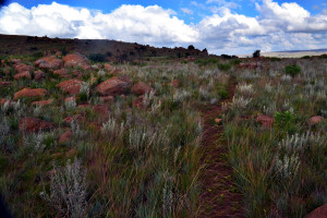
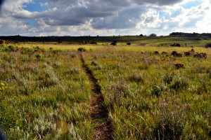
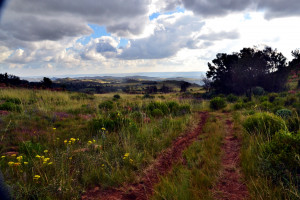
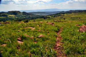
The route starts with a tough hill which provides increasingly impressive views as you ascend the Kukwira Gomo, upotorera climb, named after a Shona proverb relating to a kings residence which was situated on a rock that was notoriously difficult to get to and required supreme perseverance. From the top the route finds its way out of the Bush Boys adventure farm and onto the district road for just under 1km to enter into the single track nature trails of one of the guest farms of the area which is home to some zebra and nyala, amongst other animals. These trails keep climbing gradually as you will notice the vegetation transition to a highland landscape as the route approaches an altitude of 2000m above sea level. A change of direction then leads runners through some wooded areas and alongside sparkling streams down into one of the many valleys in the Steenkampsberg mountain range where purpose-built flowing single track leads the runners to the dams at the foot of the valley and out onto a rugged district road. The route follows this road for approximately 1.5km to the lowest elevation of the route at 1670m above sea level before turning back into the mountains and carving its way up another valley where a technical climb finds its way to the top of a rocky ridge dotted with aloes at 1845m above sea level. From here a gradual downhill leads runners to the finish at the race village. Total elevation gain for this route is 525m and there will be three water points.
Click here for interactive map of 18km route
- The 11km Tonteldoos Trail Run - A shorter but still stimulating and fairly technical route.
The route starts with a tough hill which provides increasingly impressive views as you ascend the Kukwira Gomo, upotorera climb, named after a Shona proverb relating to a kings residence which was situated on a rock that was notoriously difficult to get to and required supreme perseverance. From the top the route finds its way out of the Bush Boys adventure farm and onto the district road which allows runners to find some rhythm for 1km before turning down into one of the many valleys in the Steenkampsberg mountain range where purpose-built flowing single track leads the runners along a stream which they criss cross to get to the dams at the foot of the valley and out onto a rugged district road. The route follows this road for approximately 1.5km to the lowest elevation of the route at 1670m above sea level before turning back into the mountains and carving its way up another valley where a technical climb finds its way to the top of a rocky ridge dotted with aloes at 1845m above sea level. From here a gradual downhill leads runners to the finish at the race village. Total elevation gain for this route is 313m and there will be two water points.
Click here for interactive map of the 11km route
- The 6km Tonteldoos Trail Run - A fairly concise but engaging route that still accesses parts of Tonteldoos which feel very remote.
The route starts with a tough hill which provides increasingly impressive views as you ascend the Kukwira Gomo, upotorera climb, named after a Shona proverb relating to a kings residence which was situated on a rock that was notoriously difficult to get to and required supreme perseverance. From the top the route finds its way out of the Bush Boys adventure farm and onto the district road which allows runners to find some rhythm for 1km before turning down into one of the many valleys in the Steenkampsberg mountain range where purpose-built flowing single track leads the runners along a stream which they criss cross before turning up through a wooded area and gradually climbing up to the finish. Total elevation gain for this route is 160m and there will be one water point.
More information: www.facebook.com/events/367053580813096/
Event has been Closed
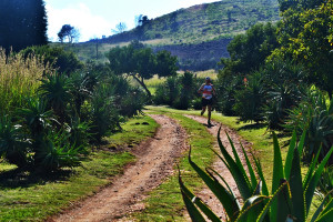
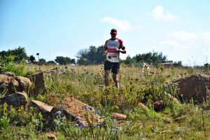
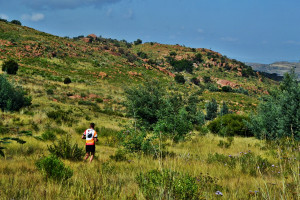
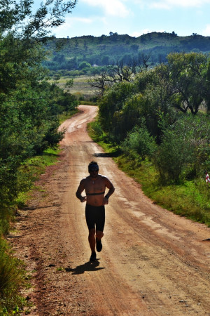
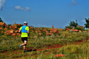
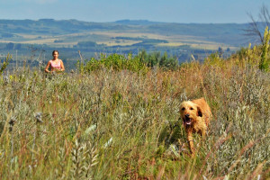
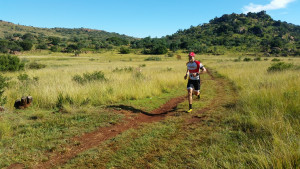
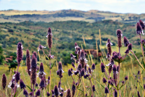
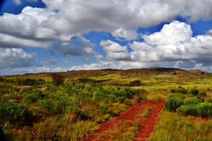
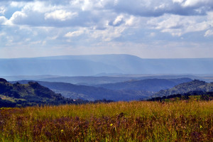
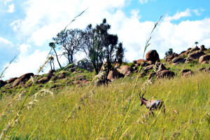
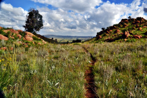
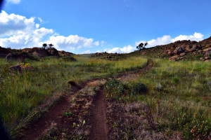
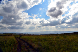
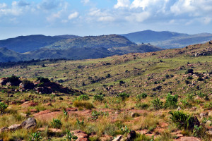
Images of the event
Supertramp Events


Classes and pricing
Available classes for the event
| Class | Distance | Start Time | Price (pp) |
|---|---|---|---|
| 18km Tonteldoos Trail Run | 18 km | 08:00 | R 130.00 |
| 11km Tonteldoos Trail Run | 11 km | 08:05 | R 100.00 |
| 6km Tonteldoos Trail Run | 6 km | 08:10 | R 60.00 |
Event has been Closed
Event location
Bush Boys Adventure Farm, Dullstroom
| Route information | From Dullstroom: - Head out of town on the road to Dunkeld Country Estate. - After Dunkeld, the road becomes a gravel road. Continue along the course of this road and dont take any turnoff's for a further 18.5km. - You will then find yourself in Tonteldoos and will notice shops such as The Thirsty Walrus, The Cheese Shop, The Cat and The Cow, and The High Side Tavern. - From this point, continue a further 1km and take the turn to the left which is signposted for Riverman cabin and Woolly Bugger Farm. - Drive this road for 4.4km from the turnoff and at the top of the hill you will find a gate for Jorubundu on your left hand side. Enter that gate. - Follow this 'driveway' for 2km and you will arrive at Bush Boys adventure farm. From Stofberg: - Follow the R555 towards and through Lydenburg for 11.8km. - Turn right on district road D336 to Tonteldoos and follow this road for 13.6km to a T-junction. Turn left at the T-junction. - You will then find yourself in Tonteldoos and will notice shops such as The Thirsty Walrus, The Cheese Shop, The Cat and The Cow, and The High Side Tavern. - From this point, continue a further 1km and take the turn to the left which is signposted for Riverman cabin and Woolly Bugger Farm. - Drive this road for 4.4km from the turnoff and at the top of the hill you will find a gate for Jorubundu on your left hand side. Enter that gate. - Follow this 'driveway' for 2km and you will arrive at Bush Boys adventure farm. |
| Coordinates | -25.286168, 29.967421 |
| Address | Bushboys Camp & Cottages |
| City | Dullstroom |
| Province | Limpopo |
Event has been Closed